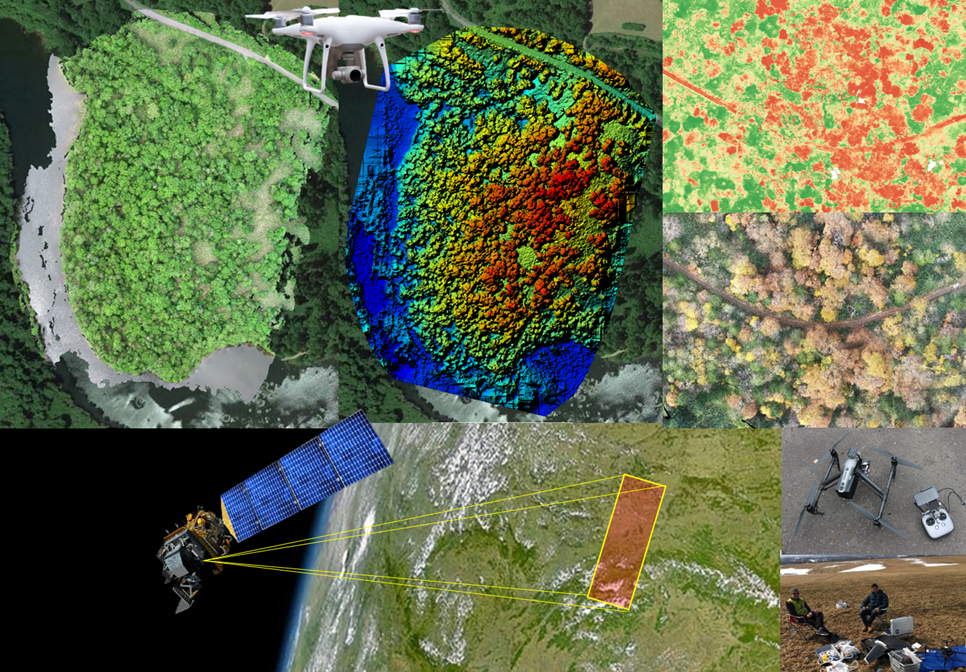
The Geospatial lab at Graduate School of Environmental Earth Science, Hokkaido University, focuses on the use of geospatial data for implementing the SDGs and monitoring their progress. The lab has been working on the development of multi-sensor geospatial data-based methods to monitor terrestrial ecosystems including forest, agriculture and water resources. The use of multi-sensor data helps in the effective monitoring and management of natural resources. Currently, we are working on the synergistic use of satellite and Unmanned Aerial Vehicles (UAVs) techniques to monitor terrestrial ecosystems more precisely. These techniques can help to solve environmental problems from local to global scale.